Iona to Craignure
Part of St Columba’s Way
From Iona, after the short ferry journey to Fionnphort on the island of Mull, there are basically two main routes to Craignure, the ferry port on the east cost of Mull.
The first is a simple along-the-road route (the A849). It is very scenic and is well described on page 6 of the St Conan’s Way booklet. From the villages of Bunessan and Pennyghael along the A849 it is possible to makes detours to visit the spectacular scenery of the southern coast.
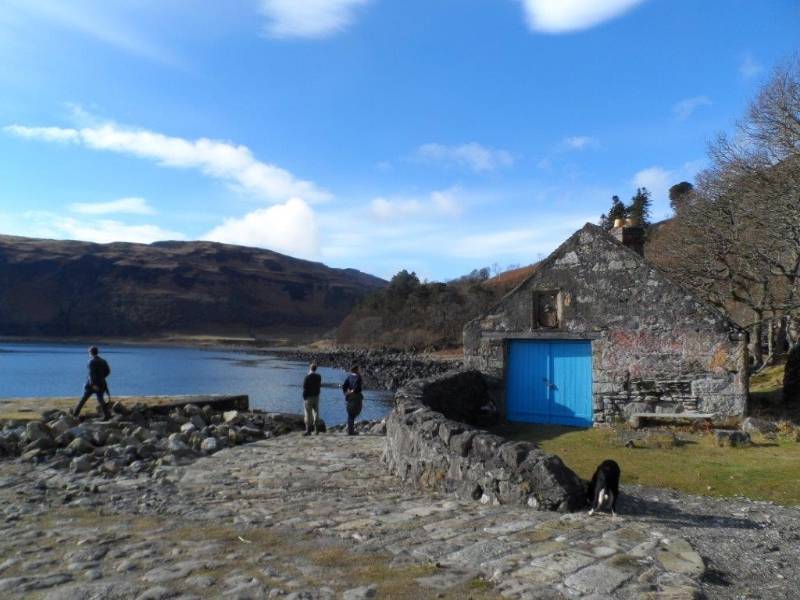
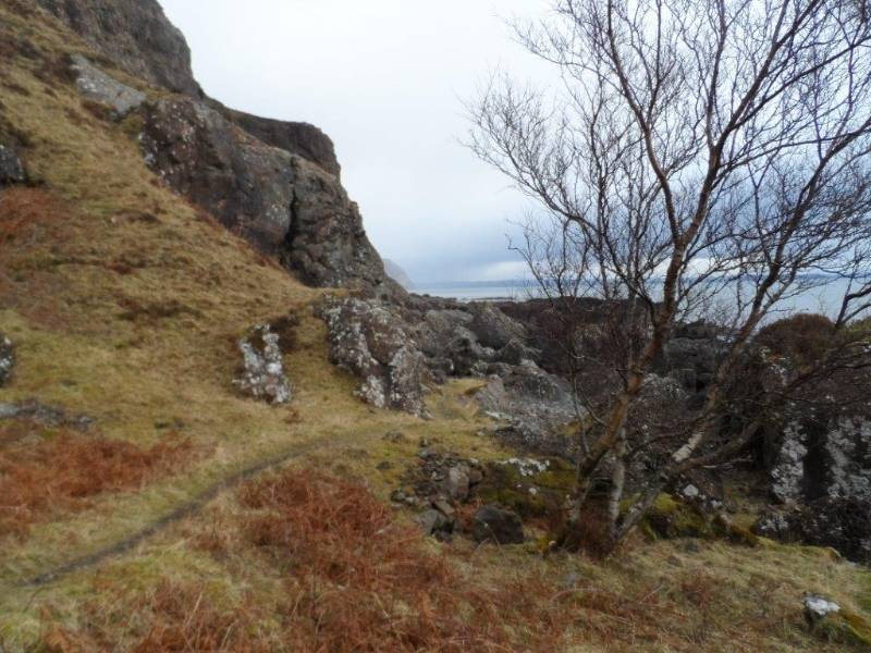
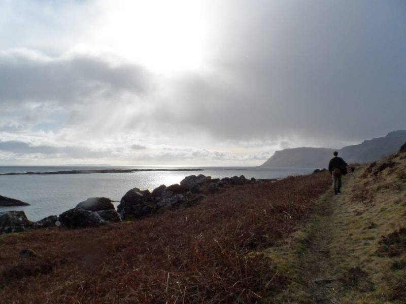
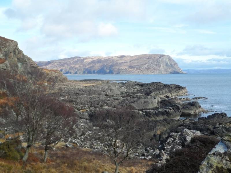
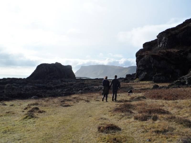
The second, St Columba’s Way, and the more adventurous route along the south of Mull, runs mainly along the coast. With sandy beaches and dramatic cliffs, it offers some of the most magnificent scenery Scotland has to offer. Most of the way is well established and easy to follow but between Fionnphort and Lochbuie the going is varied and can be difficult. The path can be ill-defined, boggy, and sometimes, depending on the weather, overgrown. Clambering over rocks, often slippery, and walking along narrow ledges can be necessary in some places. Therefore, some parts are only suitable for fit and experienced walkers.
For the above reasons we are only illustrating an approximate route across the south of Mull from Fionnphort to Lochbuie and pilgrims should consider this route very carefully and the alternatives we suggest before setting out.
Local information
For help with planning your time in the south of Mull we recommend the services of Wendy Lloyd. She can help you with recommendations regarding accommodation, luggage transport and the other opportunities which will make your time on Mull enjoyable and safe. The website is https://mullanotherway.co.uk/ and the contact address is contact@mullanotherway.co.uk.
Our Special Recommendation for accommodation on the Island of Iona
Iona Hostel, Lagandorain, Isle of Iona, PA76 6SW
Self-catering units, Iona pods, and campsite. Kitchen and shop nearby.
Tel: 01681 700 781
http://www.ionahostel.co.uk
Deerstalking Warning
Deer Stalking from Fidden to Carsaig.
The deerstalking season starts on 1 July and continues to 20 October peaking from about mid-August. This activity brings money and employment to remote rural areas and is an important part of land management and deer are easily frightened by walkers.
There is no stalking on Sundays. You can avoid deerstalking areas by taking the A849 to Pennyghael, descending to Carsaig and the coastal path. Alternatively, when planning your route and timetable you check with the relevant estates listed below.
Mull & Iona Ranger Service T: 01680 300640
Pennyghael T:01681 704232
Scoor & Argyll Estates T:01681 700087
Ardalanish T:01681 700265
Erraid & Knockvologan T:01681 700372
Fionnphort to Malcolm’s Point. 30 km.
(30 km is an “as the crow flies” measurement. Walkers will travel much further using the various paths and coastal ways)
Starting from Fionnphort walking south down minor road and then along path through Tireregan estate, which may be overgrown and boggy in places, passing secluded sandy beaches, over moorland with thickets and deer fence to Cnoc Mor, then onto track to Ardalanish.
There is a Farm Shop at Ardalanish. Also Self-catering Accommodation by the week. Contact Anne and Andrew Smith, Ardalanish Farm and Isle of Mull Weavers, PA67 6DRT. Tel : +44 (0)1681 700 265 info@ardalanish.com
Then from Ardalanish continue over moorland and along coastal and forest paths to Malcolm’s Point and Carsaig Arches.
For those using the “alone-the-road” route of the A849, at Bunessan there is a quiet road down to Ardalanish and the coast.
For further information on this route please go to Route 2, page 8 of St Conan’s booklet, Scoor to Fionnphort and Carsaig to Scoor.
See also http://www.tireragantrust.co.uk/.
Malcolm’s Point to Carsaig. 6 km.
(6 km is an “as the crow flies” measurement. Walkers will travel much further using the various paths and coastal ways)
The coastal walk from the impressive sea arches at Carsaig is a tough route over very rocky ground and with some narrow sections of the path prone to landslides.
For those preferring to using the “alone-the-road” route of the A849 (Route 1 St Conan’s Way) at Pennyghael there is a quiet road down to Carsaig and the coast.
For further information on this route please go to Route 2, page 8 of St Conan’s booklet.
Carsaig to Lochbuie. 11 km
(11 km is an “as the crow flies” measurement. Walkers will travel much further using the various paths and coastal ways)
This coastal walk which links the tiny settlements of Carsaig and Lochbuie, takes you along the bottom of towering cliffs, through grassy pastures and fine woodland. This section is a delight for geologists with impressive cliffs, volcanic formations, caves, many waterfalls and a so-called sea stack, a column of rock rising vertically from the sea.
It is rough walking along the path, mainly grassy, often boggy, and sometimes very rocky near shoreline. Scrambling is necessary at one point with some assistance from a rope. This part of the walk is impassable at high tide.
For those preferring to using the Alone-the-road route of the A849 (Route 1 St Conan’s Way) at Pennyghael there is a quiet road down to Carsaig and the coast.
For further information on this route please go to Route 2, page 7 of St Conan’s booklet.
Lochbuie to Craignure. 22 km
This is an easy loch-side single track road as far as Strathcoil, then onto the A849 for the last 10 km to Cragnure.
Starting at Lochbuie with the rugged and threatening Moy Castle this area is renowned for its scenic landscape, shimmering beaches, abundant wildlife, and ancient stone buildings.

